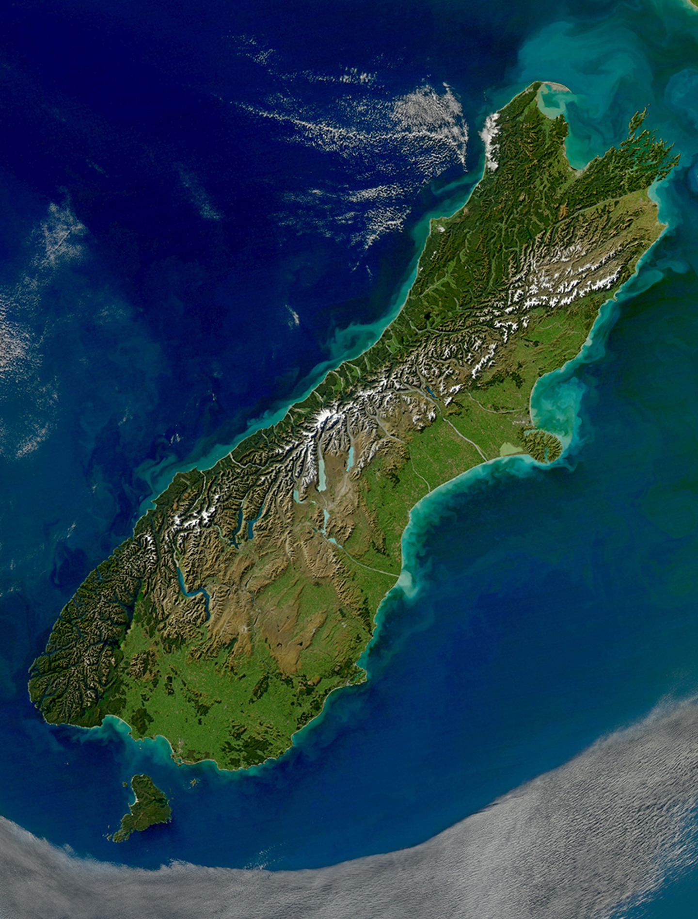
The Alpine Fault runs for over 800km up the spine of the South Island. It’s the part of the active boundary between the Pacific and Australian tectonic plates where they intersect on land. The Southern Alps have been formed over millennia by upthrust from successive earthquakes on the Alpine Fault. The fault is estimated to move horizontally up to 10m at a time during an earthquake. GNS scientists calculate that the Southern Alps have been raised by 20km over the last 12 million years, and it’s only the effect of constant erosion that has kept the tallest peaks in this mountain range from being over 4000 metres high.
Planning for the next earthquake is based on scientific research and modelling to establish what will happen to our communities and our infrastructure when the Alpine Fault ruptures again.
While we can’t predict when earthquakes will occur, scientific research has shown that the Alpine Fault has a remarkably regular history of producing large earthquakes. By analysing sediment deposited at two sites in Fiordland – John O’Groats and Hokuri Creek – during previous earthquakes, scientists have established that the Alpine Fault has ruptured 27 times over the last 8000 years. That’s every 300 years on average. The last significant quake on the Alpine Fault was in 1717. There is no reason why the pattern should change now: in other words the next severe earthquake on the Alpine Fault is likely to occur within the lifetime of most of us, or our children.
What happens when you shake a lake? Hear from the experts and learn more about how lakes behave in large earthquakes, some of the key things to keep in mind when you’re out enjoying the water and how we can keep ourselves safe.
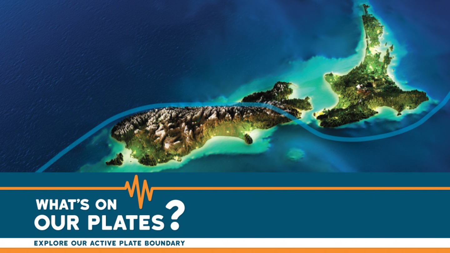
What’s On Our Plates? is a set of multimedia learning modules designed to enable anyone to explore Aotearoa New Zealand’s active plate boundary online, including the Alpine Fault and Hikurangi subduction zone.
The AF8 Roadshow provides South Island communities, in areas most likely to be affected by an AF8 earthquake, with direct access to Alpine Fault science and hazard impact information relevant to them and their region.
Hear from the experts and learn from local experiences. These videos explain why we are taking the Alpine Fault so seriously and help you understand how you can be prepared for the disruption to normal life that a severe earthquake will cause.
This StoryMap shares a credible science-based hazard scenario for a major Alpine Fault earthquake. Scenarios bring together all our available knowledge to paint a picture of what we might experience so we can be better prepared for it.
*StoryMap is best viewed on a desktop, laptop or tablet, it is not suitable for viewing on mobile phones or small screens.
Faultlines is an immersive documentary, featuring AF8's science partners and South Island communities. Published May 2022 and produced by Vanishing Point Studio & North & South Magazine with funding from NZ On Air.
Magnificent mountains with precipitous snowy peaks may be what Te Tai Poutini, the West Coast of Te Waipounamu, the South Island of Aotearoa, is most famous for. But the flatter land at the foot of the mountains is what’s most valuable to residents, farmers, and travellers of the West Coast. A paper by Kiwi earth scientists highlights the landscape changes expected for this precious, habitable land after large earthquakes.
We are seeking expressions of interest for the newly vacant Science Lead position. The AF8 Programme is seeking a suitably qualified scientist with active Alpine Fault hazard and risk-related research, and strong networks and connections across the science and emergency management sectors.
The short answer is (spoiler alert) no. Research shows that while there are periods of heightened activity, the overall occurrence rates are stable. But let’s take a look at why it might seem like earthquakes are on the rise...