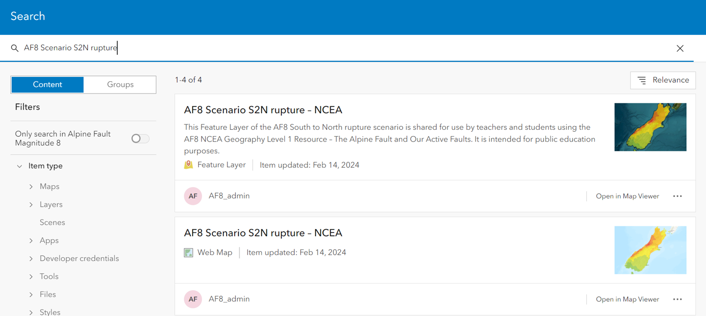
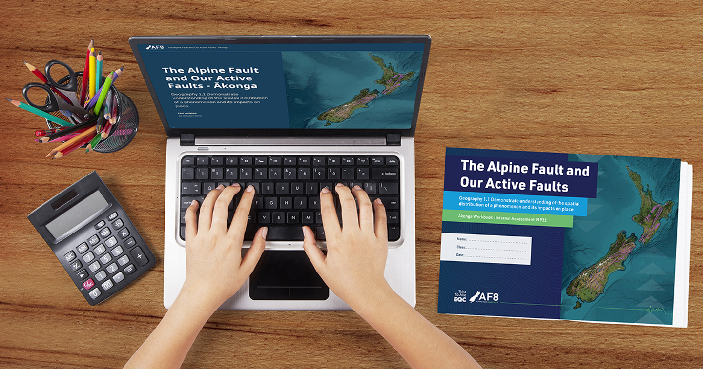
The Alpine Fault and our Active Faults is an NCEA Level 1 Geography resource aligned to the new New Zealand curriculum and is designed to teach ākonga all about the Alpine Fault and our active faults, while also learning geospatial information system skills in ArcGIS Online.
The resource includes two StoryMaps (one for kaiako, one for ākonga), a workbook for ākonga and answer book for kaiako, a suggested lesson plan, assessment matrix and support materials to help kaiako adapt the teachings to their classroom. It has been built to allow kaiako to teach the Internal Assessment in whatever way works best for their ākonga.
This resource has been designed to align with Geography 1.1 Demonstrate understanding of the spatial distribution of a phenomenon and its impacts on place (91932).
It steps ākonga through five topics: New Zealand's plate boundary, faults, risk, impacts, and planning and preparing. By working through the StoryMap and their completing workbook ākonga will be ready to create their own StoryMap for their internal assessment. It is designed so that they can work at their own pace or complete their workbook when prompted by their kaiako as they progress through the StoryMap.
We love feedback – Let us know what you think so that we can make it as easy as possible for you to use in the classroom.
