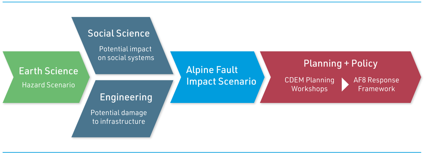
The AF8 Hazard Scenario (also known as the AF8 Scenario) underpins the AF8 programme, where science provides a robust foundation for response and recovery planning, risk communication and community engagement. It is available via downloadable PDF and as an interactive StoryMap.
The Alpine Fault scenario presented here details the earthquake source and geomorphic components of the work, which we term a ‘hazard scenario’. This describes a Mw 8.2 Alpine Fault event with a rupture length of more than 400 km, and c. 9m of dextral-reverse surface displacement. This event has been assessed to have a recurrence interval of c. 300 years. The last known major rupture of the Alpine Fault was in 1717. A range of co-seismic and cascading geomorphic hazards of the mainshock will lead to a wide and complex range of landscape responses spread across a large area and over a range of timescales.
AF8 would like to thank all the contributors listed for lending their expert knowledge and time in the development of the report and for their ongoing support of the AF8 programme. The AF8 Hazard Scenario outlined in this document is a key output of the programme’s first year, 2016-17 and was funded by the Ministry of Civil Defence Emergency Management Resilience Fund. It was developed to inform the development of the AF8 SAFER Framework, which was published in the projects second year, 2017-18.
The StoryMap was developed in 2022 to enable the available Alpine Fault hazard risk impact science and preparedness information to be shared widely, and was made possible with co-funding from The Earthquake Commission (EQC).

