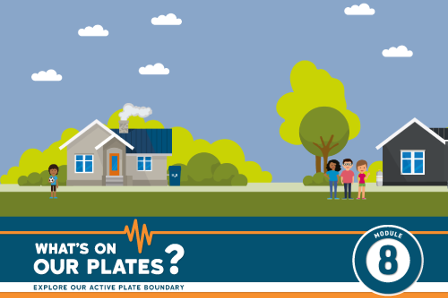
What’s On Our Plates? is a set of multimedia learning modules designed to enable anyone to explore Aotearoa New Zealand’s active plate boundary online, including the Alpine Fault and Hikurangi subduction zone. There are currently five What’s On Our Plates? learning modules, with more coming soon.
The modules have been aligned to Level 4-6 Achievement Objectives from the Science Learning Area of the New Zealand Curriculum and are accompanied by a Teacher Guide to support their use in the classroom. Each module comes with a downloadable and printable activity sheet and finishes with a quiz to test students learning. Answers to the activity sheets are included in the Teacher Guide.
Please note: The What’s On Our Plates? learning modules are best viewed on a desktop, laptop or tablet, they are not suitable for viewing on mobile phones or small screens. We recommend using Google Chrome, the maps will not work in Internet Explorer.
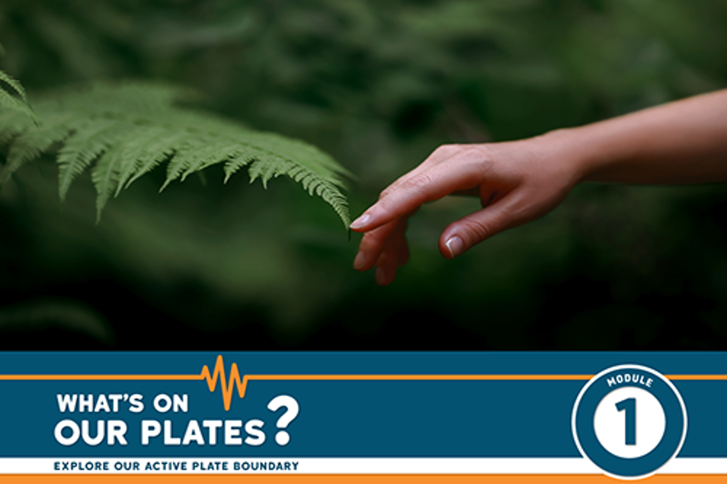
What is knowledge for? We explore our world to help us understand how and why things work the way they do. This helps us learn how to live better in our taiao and prepare for our future.
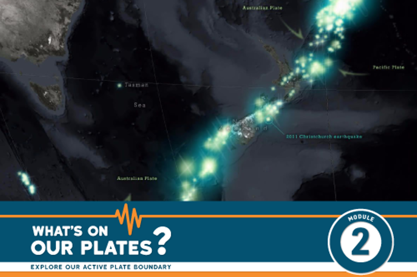
Take a tour of Aotearoa New Zealand’s plate boundary, starting with the earth’s structure, tectonic plates, the Pacific Ring of Fire. Then explore where the Australian and Pacific plates meet.
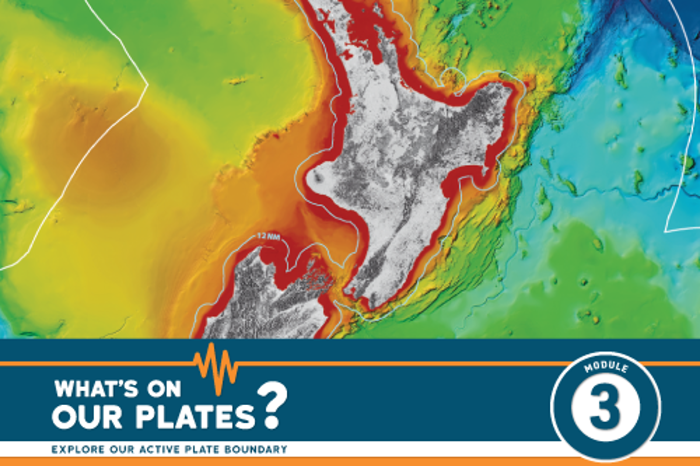
Dive to the bottom of the Pacific Ocean to learn about the features of the Hikurangi Trench in 3D. Then come back to the surface and find out about the geo-science underway to unlock the secrets of the Hikurangi subduction zone.
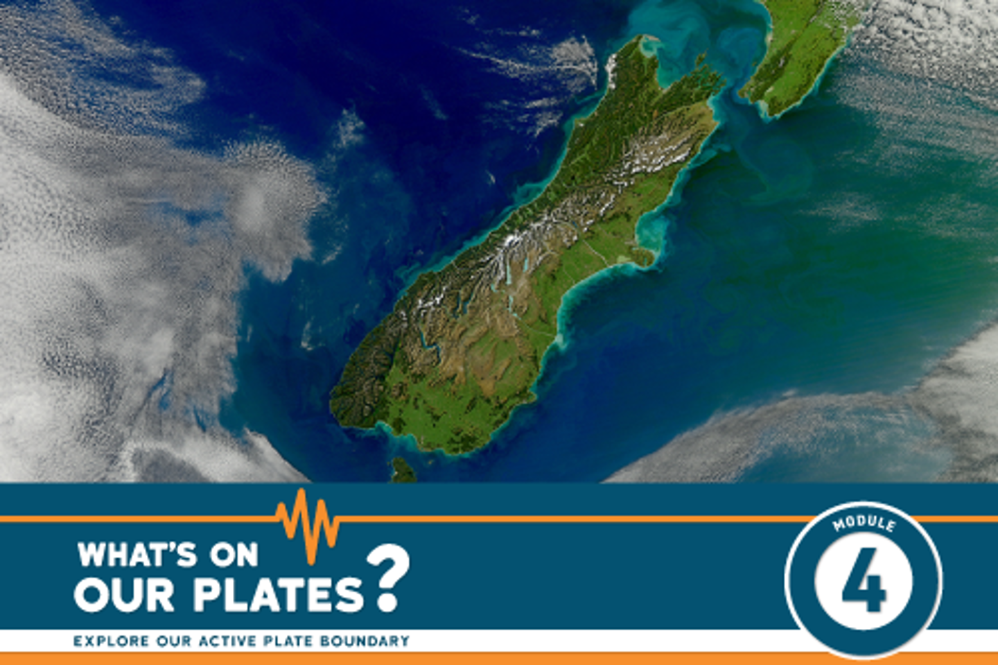
Take a tour along the Alpine Fault, Aotearoa New Zealand’s on-land plate boundary and one of the longest natural straight lines in the world! Find out how it was discovered and learn what science can tell us about Alpine Fault earthquakes.
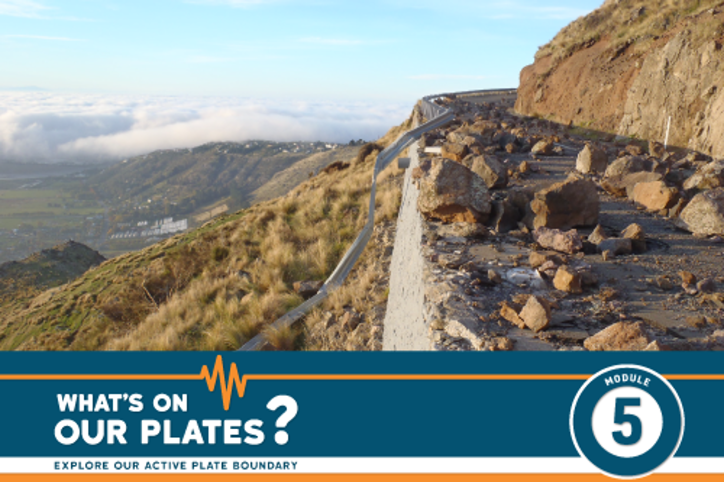
On average 20,000 earthquakes are recorded every year in Aotearoa New Zealand, find out why they happen and how we measure them to understand our landscape better.
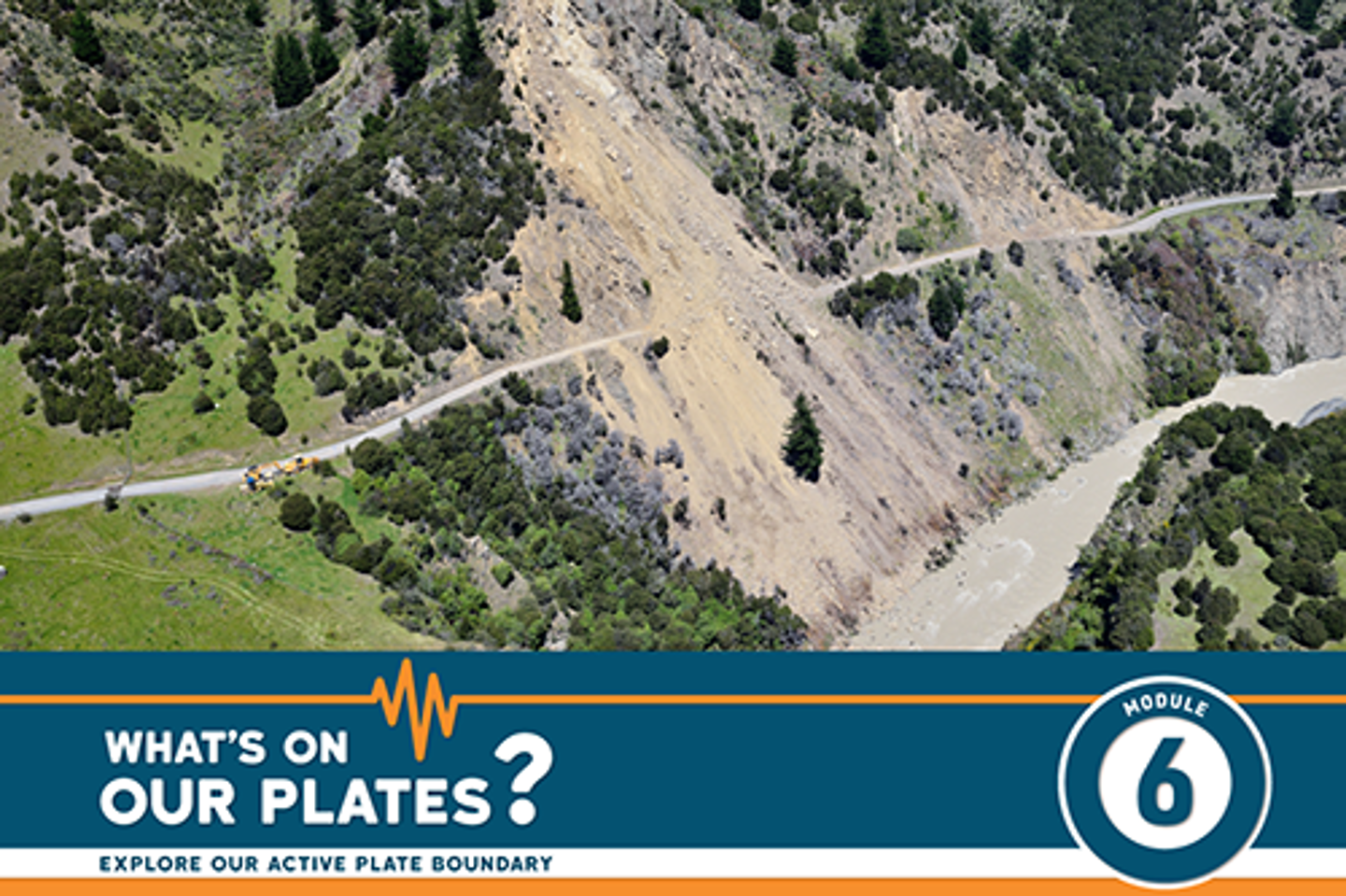
Earthquakes are not only ground shaking and surface rupture, they can also cause a whole series of other cascading hazards. This means that when the shaking stops, we need to be aware of the other hazards it may have generated and be prepared for them too.
Tsunami is a Japanese word meaning ‘harbour wave’. It is a series of fast travelling waves caused by a large disturbance in the sea, on the ocean floor or even in a lake.
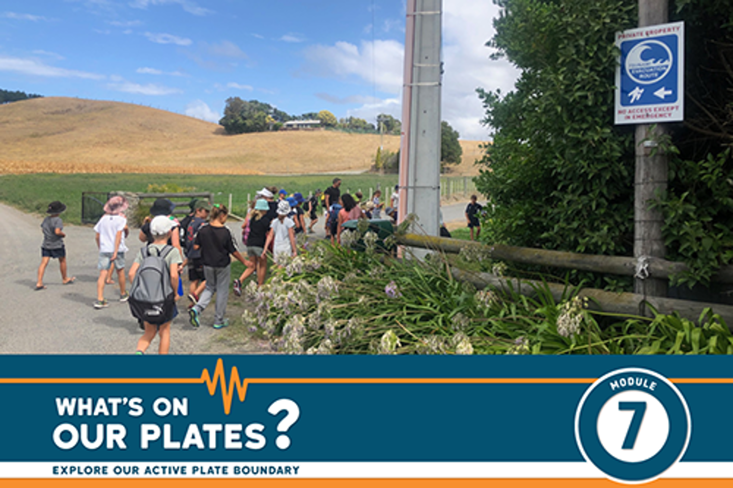
Being prepared for the ‘big one’ means we’re ready for other natural hazards. What we do now will make things easier in any emergency. Find out some of things we can do to get ready for future events.
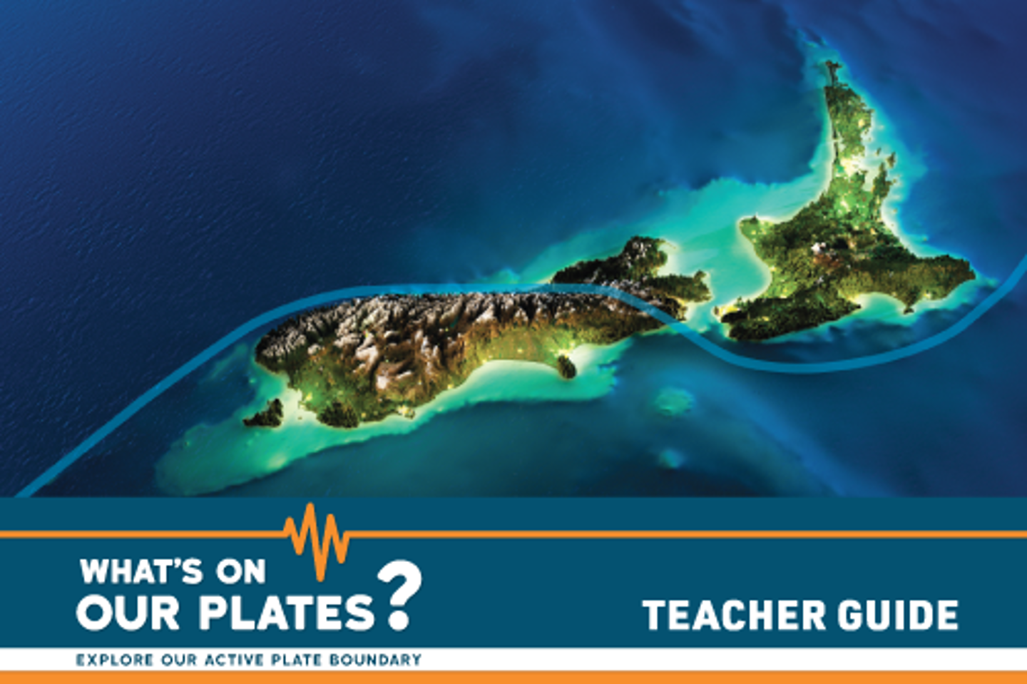
The What’s On Our Plates? Teacher Guide summarises the learning modules, shows you how to navigate through StoryMaps, details how the modules align to the New Zealand Curriculum and provides some technical tips to get you started.
![]()